ASCENDING ELEVATIONPOOKODE, WAYANAD 2026
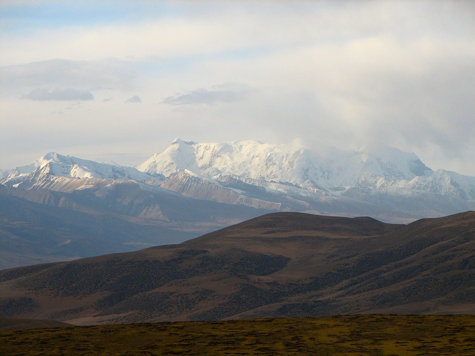
“Tectonic forces have long shaped the uplifted mountain ridges of the Tibetan Plateau—the "Roof of the World", "Water Tower", and "Third Pole"—making it a longstanding focus of geological and climatic research.”
The land of striking contrasts in morphology — the rugged Tibetan Plateau has always challenged explorers, as do its vast flat expanses. Heinrich Harrer, an Austrian mountaineer who escaped from an internment camp in Dehradun in 1943 with some of the inmates, journeyed on foot through the challenging mountainous terrain to Lhasa, the capital of Tibet. In a passage in his book Seven Years in Tibet, he expressed his awe at this land of topographic extremes: “The next day, we reached the top of the pass and were astonished to find that there was no descent and that we had simply come to a high plateau. The view over the unending plain was discouraging. One seemed to be facing infinity, and the huge spaces would certainly take months to cross. As far as we could see, there was no sign of life, and an ice-cold wind blew over the snow.”
With a mean elevation of over 4,500 metres and an extensive area of approximately 25,00,000 square kilometres, the Tibetan Plateau covers an area that surpasses some countries in size.
Geographically, the Tibetan Plateau lies north of the Himalayas and the Indian subcontinent, and south of the Tarim Basin and Mongolia. As the highest plateau on Earth, it also features some of the region’s deep, glacier-fed lakes. Its glaciers feed major Asian rivers, originating on the Tibetan Plateau, including the Indus, Sutlej, Brahmaputra, Mekong, Salween, and Irrawaddy, which play a crucial role in supplying freshwater to a large portion of the world’s population. The Plateau, therefore, has acquired many symbolic titles such as the “Roof of the World,” “Water Tower,” and “Third Pole.”
The final rise of the Tibetan Plateau was partly driven by the collision of the Indian and Eurasian plates 40 to 60 million years ago. Over geological time, India must have slid as much as 1,000 kilometres under southern Asia, thickening the crust under the Plateau. But Tibet is not a monolithic block formed during a single India-Asia collision event. The uplift of the Plateau was heterogeneous in space and in time. Studies indicate that it is an assemblage of ancient terranes sutured to the Eurasian plate, beginning in the early Mesozoic Era (250 million years ago), preceding the India-Asia collision.
The early Paleogene period (55 ± 10 million years ago) is likely the most probable time for the start of the India–Lhasa terrane collision, which was the final event that shaped the Tibetan Plateau and marked the beginning of the Himalayan mountains’ uplift and Tibet’s further elevation. The immense height and weight of the Tibetan Plateau created gravitational instability, causing it to spread outward and downward, like a thick pancake collapsing under its weight.
The high topography of the Tibetan region, including the Himalayas, serves as a barrier to airflow, affecting regional climate. By cooling in winter and heating in summer, the Tibetan Plateau acts as a ‘thermal driver’ or a ‘heat pump’, shaping the direction and intensity of monsoon winds. A deeper understanding of the roles of the Himalayas and Tibet in controlling the Asian monsoon can be achieved by studying their long-term incremental topographic development and their impact on monsoon evolution.